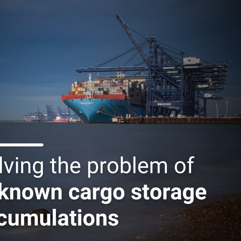
The visibility of storage accumulations has been an on-going challenge for cargo Underwriters. A clear understanding of cargo storage accumulations improves exposure management by helping Underwriters control peaks in specific locations. This:
- Allows underwriters to make more informed decisions
- Reduces the impact of large loss events
- Simplifies the management of large portfolio’s
- Ensures sufficient ReInsurance coverage
Our view of cargo is changing
The visibility of cargo goods and accumulations has drastically improved thanks to the emergence of connected digital platforms. Using transit exposure to deduce the movement of insured goods means we can get a more accurate view of how exposure changes due to supply chain activity. When mapped, this data gives an understanding how concentrations of values change within regions. This view can also be used to display data already held by insurance companies, helping understand storage exposures within portfolios with thousands (or tens of thousands) of storage locations.
Improving the visualisation of storage exposures is important as it helps solve an ongoing issue in the cargo market:
Underwriters often don’t know whether multiple assureds are storing goods in the same place.
Lack of visibility causes issues
This problem is a very real one. The largest logistics companies operate enormous storage locations containing goods from a wide range of different clients. It is therefore not only possible but likely that an insurer is covering the goods of multiple insureds at a single location, the only question is where? And how much is the insurer on risk for across all policies? While natural catastrophes are modelled and aggregate limits applied, non-cat losses such as warehouse fires risk exposing insurers to multiple full limit losses in one go at these locations.
Traditional processes don’t solve the problem
To typically manage this issue, underwriter’s conduct a manual review of the portfolio, focussing on areas of concern. However, this is both very time consuming and far from fool proof. Underwriters may focus on specific areas of concern or known locations where accumulations are likely, but this still leaves a huge amount of unknown exposure.
How does digitalisation solve this issue?
Applications like Quest Cargo retrieve and record the latitude and longitude of stored goods within a portfolio. These co-ordinates provide the basis to solve the issue of unknown storage accumulations. Underwriters can use Quest Cargo to scan their portfolio for clusters of locations that are close to a point of interest. Underwriters can choose how far from the area of interest the scan needs to be by adjusting its radius. Once scanned, a list of the top 20 largest accumulations by insured value is shown. Underwriters therefore gain visibility of:
- the total exposure within the location/radius
- the number of assureds with goods in that location/radius
- the names of those assureds

Fig 1: Example of the highest ranked accumulation within an event radius. Demonstration data only.
From an outwards reinsurance perspective having a detailed understanding of your accumulations is also important. Underwriters and reinsurance buyers need to know the peak accumulations to set the limit of reinsurance they need (or want) to purchase, and data on the utilisation of that limit can be used to understand pricing and to determine the amount of horizontal cover required.
“Prior methods for addressing the critical issue of unknown storage accumulations have not been fit for purpose. The time involved in reviewing a portfolio of thousands of locations would make manual review an impossible task, especially when new risks are continually added to the book. Solving this challenge through automation means underwriters can be more effective with their time and make informed decisions based on the results” – Ed Ronayne, Cargo Product Manager at Concirrus
For more on how to improve the visibility of cargo storage accumulations, or how Quest Cargo can help your business, get in touch.
